- English
Languages:
This site is created using Wikimapia data. Wikimapia is an open-content collaborative map project contributed by volunteers around the world. It contains information about 32729823 places and counting.
Learn more about Wikimapia and cityguides.
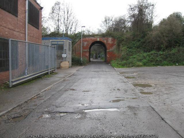
Pontefract
A town in the county of West Yorkshire, England, near the A1 and the M62 motorway.
Wikipedia article: http://en.wikipedia.org/wiki/Pontefract
Pontefract on the map.